More information about this section…
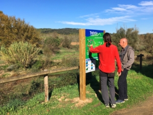
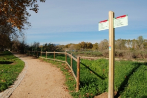
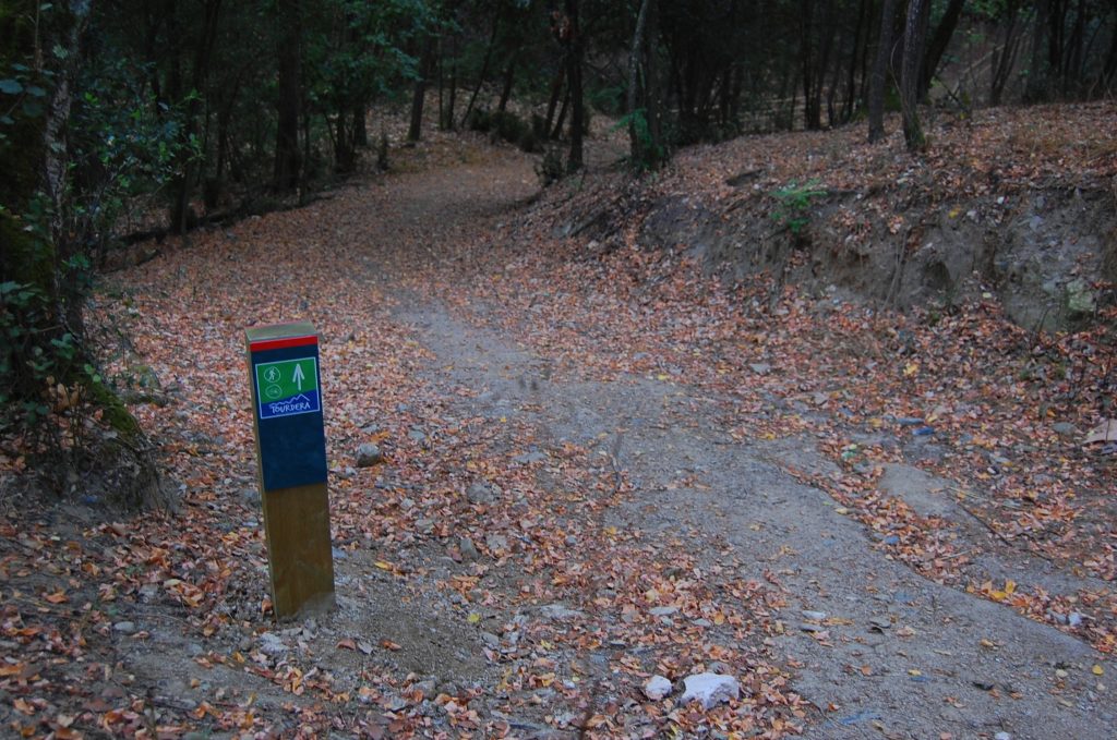
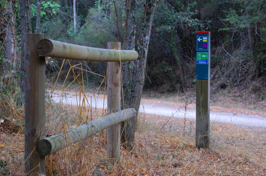
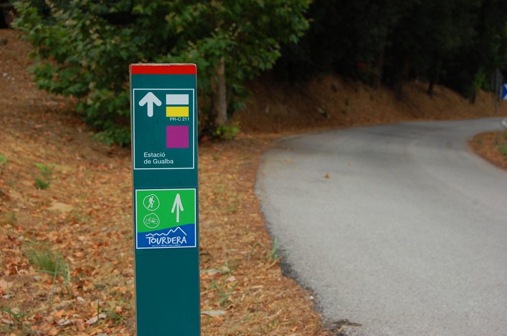
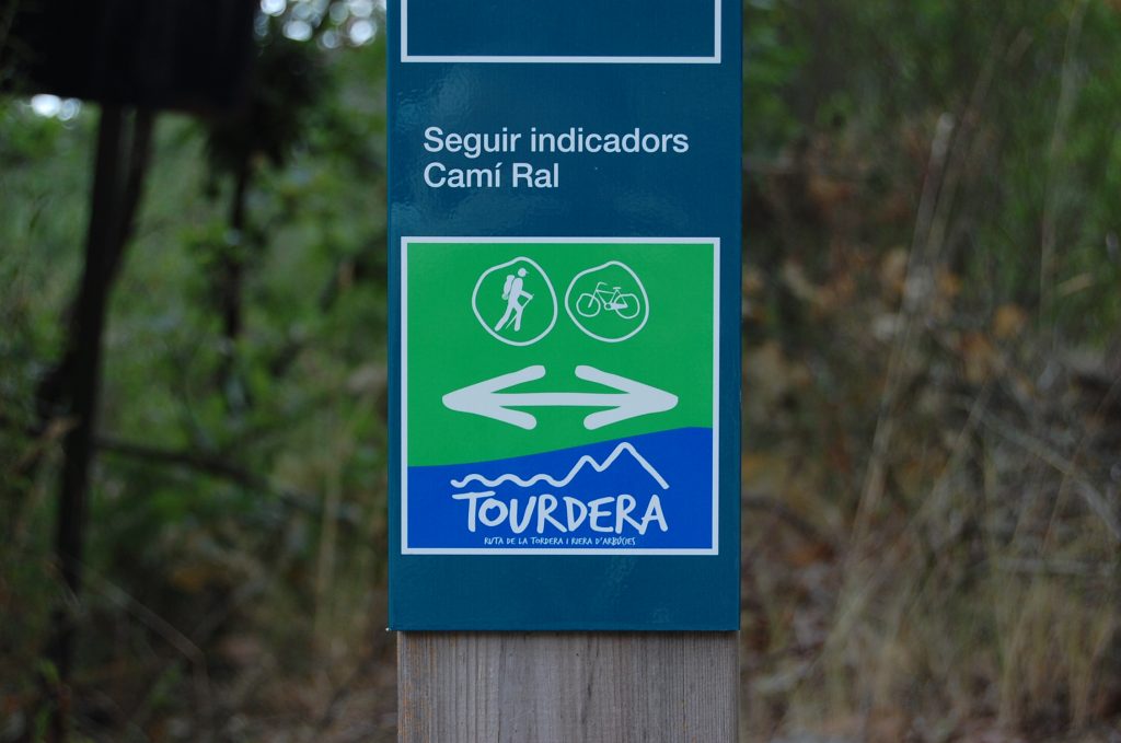
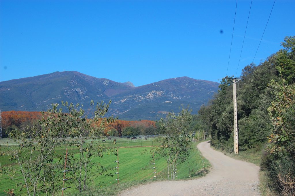
This section of the Tourdera Route, between the village of La Batllòria and the town of Gualba, is shared throughout its entire length by hikers and cyclists. In total, the route is 6.3 kilometres long, with a cumulative ascent of 105 metres, although the overall difficulty is low. At the start of the route, next to the information panel, you will find a wayfinding sign indicating the route to follow, whether you are travelling by bicycle or on foot.
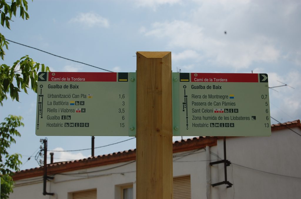
Once you begin following the signs towards Gualba, you must first pass under the C-35 road via an underpass and then cross beneath the railway tracks and Gualba train station through another underpass. At this point, you will already be following the Royal Road de Gualba and the PR-C 211 trail. During the first 600 metres of the route, you should pay particular attention, as you will encounter a paved section with light traffic and approximately 200 metres along the shoulder of the BV-5115 road. Once this section has been completed, you will reach the entrance to the Can Pla residential area, where a wayfinding sign will indicate the route towards Gualba and also offer the option of making a detour to the hamlet of Gualba de Baix, located beside the Tordera River.
Continuing along the route, you will head towards the Rieral de la Barceloneta area, a section where the itinerary follows forest tracks linking various farmhouses (Can Pere Maimó, Vil·la Maria, Can Cortina, etc.), among which you will find Can Pascual Restaurant, which also has a picnic area, and the Masferrer Hotel, located at Can Masferrer, among others. This is therefore a particularly interesting section of the route, where you will find facilities such as a restaurant, picnic area and hotel.
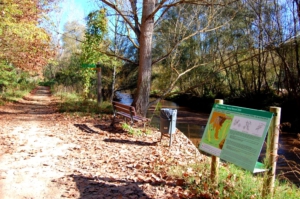
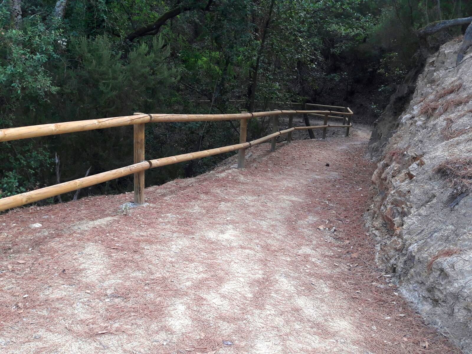
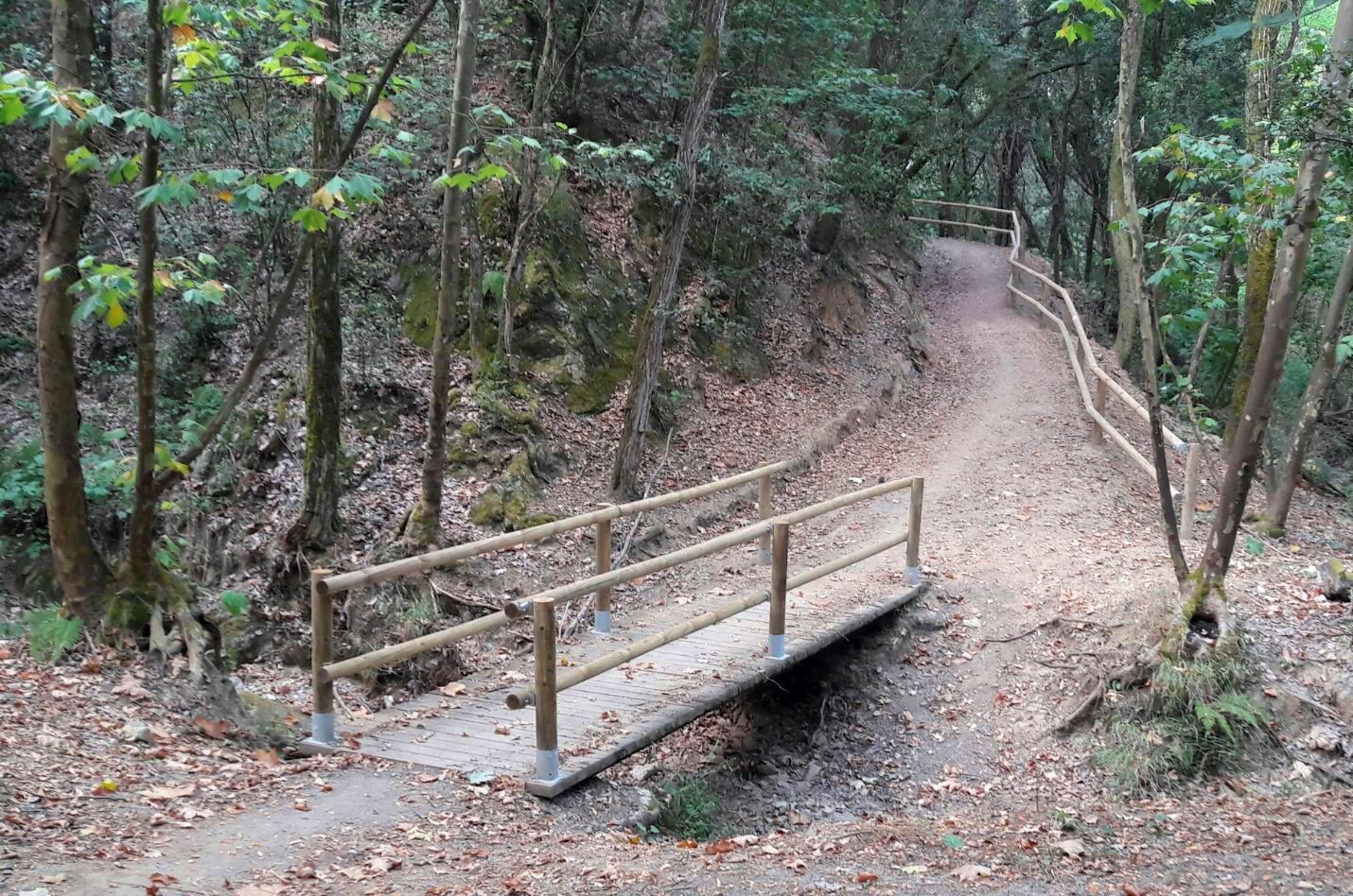
Once you leave the last houses behind, you will enter one of the most interesting stretches of the Royal Road de Gualba, especially around the Can Sivina Stream. Here, the route becomes a fairly wide path, featuring protective barriers, a footbridge over the stream and other facilities, all within a very pleasant and attractive environment that is well shaded by the tree canopy. This path will lead you to the town, first passing through the area of Les Cases Blanques and then reaching the Gualba Stream. Once you have crossed it, you will be almost at the town itself. If you would like more tourist information about Gualba, be sure to visit the Can Figueres Tourist Information Point, checking its opening hours in advance.