More information about this section…
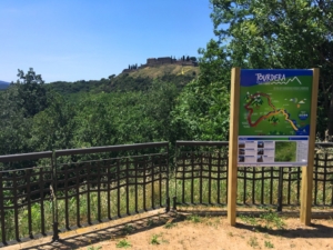
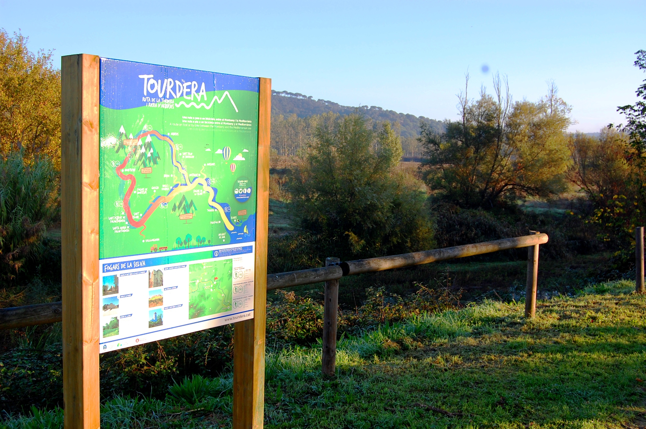
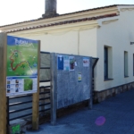
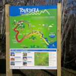
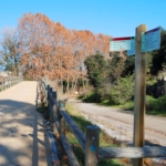
The Tourdera route section between Santa Maria de Palautordera and Sant Celoni is shared throughout its entire length by both hikers and cyclists. It is a 6.3 km route with only 10 metres of ascent and an overall low level of difficulty. The route begins on Carretera Nova de Sant Celoni, where you will find the route information panel. From there, following the first route signpost located next to the panel, you will head towards the Serra neighbourhood, from where there is the option of reaching the train station.
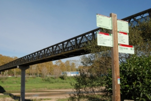
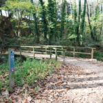
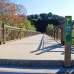
Continuing along the route, you will walk down Avinguda de la Serra, which gradually becomes first a track and then a path leading to a metal footbridge over the Tordera River, which you will need to cross.
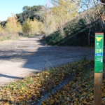
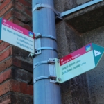
The route then continues along a track that leads to an underpass beneath the high-speed railway (TGV) tracks. After a short stretch on asphalt near the Santa Maria wastewater treatment plant, you will continue along another track. Throughout the route, you will find wayfinding signs, either in the form of route signposts or markers displaying the route logo. This track, which runs for approximately 1,400 metres through farmland, leads to the Riu-sec stream, which you will cross via a wooden footbridge after a gentle descent. From the footbridge, you will continue parallel to the Riu-sec until reaching the Parc dels Enamorats, where you will find a fountain and a rest area.
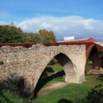
Resuming the route, you will continue for about 750 metres along the edge of the urban area, passing the Sot de les Granotes sports hall and continuing to an underpass beneath the railway line. From there, the route follows a track leading to the Pont Trencat. The itinerary crosses the Pont Trencat, a Gothic-style bridge that once formed part of the famous Via Augusta and which required extensive restoration following the destruction it suffered during the Peninsular War.
After crossing the bridge, you will pass through the Pont Trencat neighbourhood and head towards the BV-5112 road, along which you will need to walk for approximately 150 metres on the roadside before joining another track. Continue along this track for about 800 metres until reaching the Can Pàmies footbridge. Following the signs towards Sant Celoni, cross the footbridge and continue towards the town centre.
Once you have crossed the footbridge, pay particular attention to the small route markers attached to the street lamps, which will guide you to the train station, where this section ends. Once in Sant Celoni, you can take the opportunity to enjoy a drink or a meal in one of the local bars or restaurants, go shopping, or make use of the town’s services.