
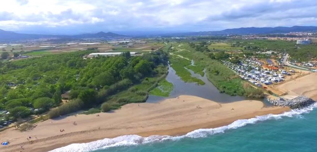
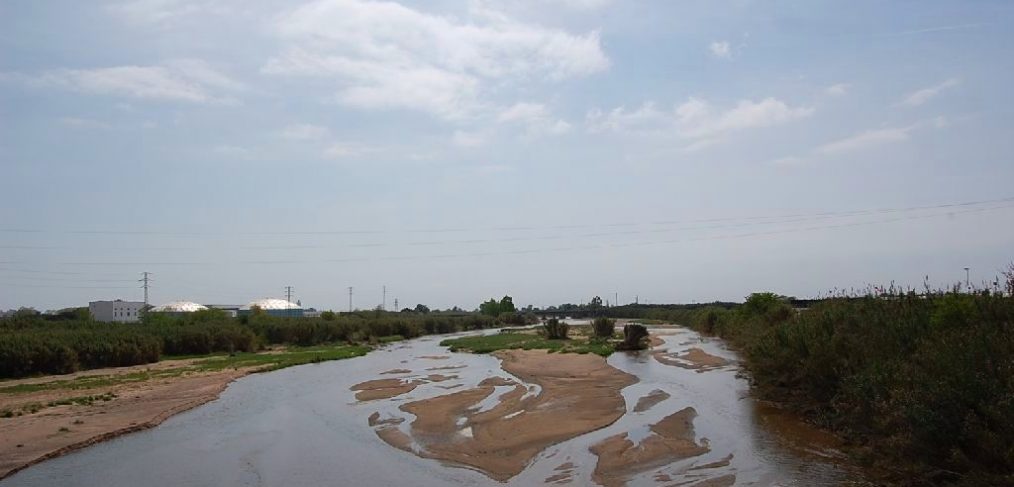
Surely many of you already know the mouth of the Tordera, a natural space located between the municipalities of Blanes and Malgrat de Mar, where the Tordera river pours its waters into the sea. The interest of the area is, above all, because it forms a coastal lagoon, isolated from the sea by a sandbar, which is used by numerous bird species, especially during their migrations.
Tourdera
Do you want to see the Tordera from a bird’s-eye view?
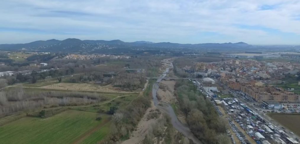
As many of you already know, the Tordera rises in the Montseny massif, between the Turó de l’Home (1712m) and the Matagalls (1696m), where it begins its descent to the Mediterranean Sea over approximately 61 kilometers. Although the landscape associated with the river changes from the upper to the lower sections, we present this video that shows us one of the images that comes to mind when thinking of the river, filmed in the municipality of Tordera.
Blanes joins the Tordera Route.
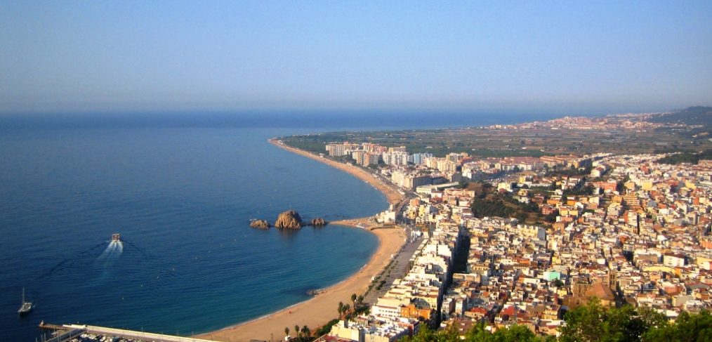
A few weeks ago we announced that Palafolls and Malgrat de Mar had joined the Tordera Route and Arbúcies Stream project. Well, now we can announce that Blanes is also a member of the route and, therefore, there are now 18 municipalities adhering to the project. As we had mentioned, the route will start in the coastal area from both the Girona side (Blanes) and the Barcelona side (Malgrat de Mar).
The Tourdera tracks on Wikiloc

Although most of you already know it, Wikiloc is a community of users who share routes and points of interest from all over the world, georeferenced, projected on Google Maps or other maps, and which allows you to download tracks, view photographs, explanations, etc. From Tourdera, we have already uploaded the first active sections of the route in the municipality of Montseny.
Malgrat de Mar also joins the project.
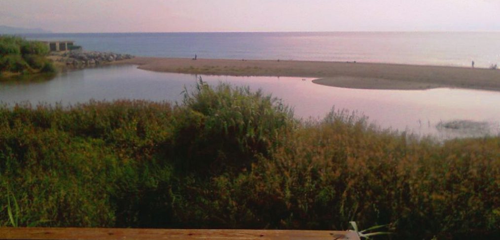
After we announced last week that Palafolls had joined the project, we can now announce that Malgrat de Mar has also joined the route and, therefore, the Tordera route will start from both the Girona side (Blanes) and the Barcelona side (Malgrat de Mar). Thus, there are currently 17 municipalities adhering to the project.
Project follow-up meeting

This Friday, October 14th, the follow-up meeting for the “Tordera Route and Arbúcies Stream” project took place at the Hostalric town hall. These meetings are held at least twice a year and serve both to update and inform the different participating town councils about the tasks carried out, as well as to define future actions.
Palafolls is now a new member of the project.
If in July we announced that Vallgorguina was already a new collaborating member of the Tordera Route and Arbúcies Stream project, over the last few months we have been working to ensure that other missing municipalities also join to be able to complete the route in its entire course, including the town council of Palafolls.
La Vanguardia highlights the Tordera route.

On October 3rd, La Vanguardia reported on the “Tordera Route and Arbúcies Stream” project, highlighting the possibility of linking the Montseny mountains and the Mediterranean through a route that allows enjoying hiking and cycle tourism. Likewise, it highlights the fact of having managed to bring together so many municipalities for a common project.
First active section of the route!
Great news! Since June, the first section of the Tordera route has been available, specifically from the source of the river at Font Bona in Sant Marçal, in the heart of the Montseny Natural Park, to the town of Montseny. So, if you don’t have any plans this summer, we suggest a fresh and pleasant getaway that will allow you to discover the source of the Tordera river.
Tourdera Project News
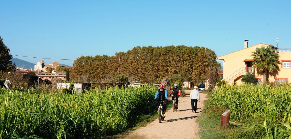
We are very happy that in recent days the Tourdera project has been featured in two media outlets, El Nou9 and El Punt Avui, in their Vallès and Maresme editions, respectively. Although there is still a long way to go, the first results are already appearing and they greatly encourage us to continue forward in such an exciting project.



















